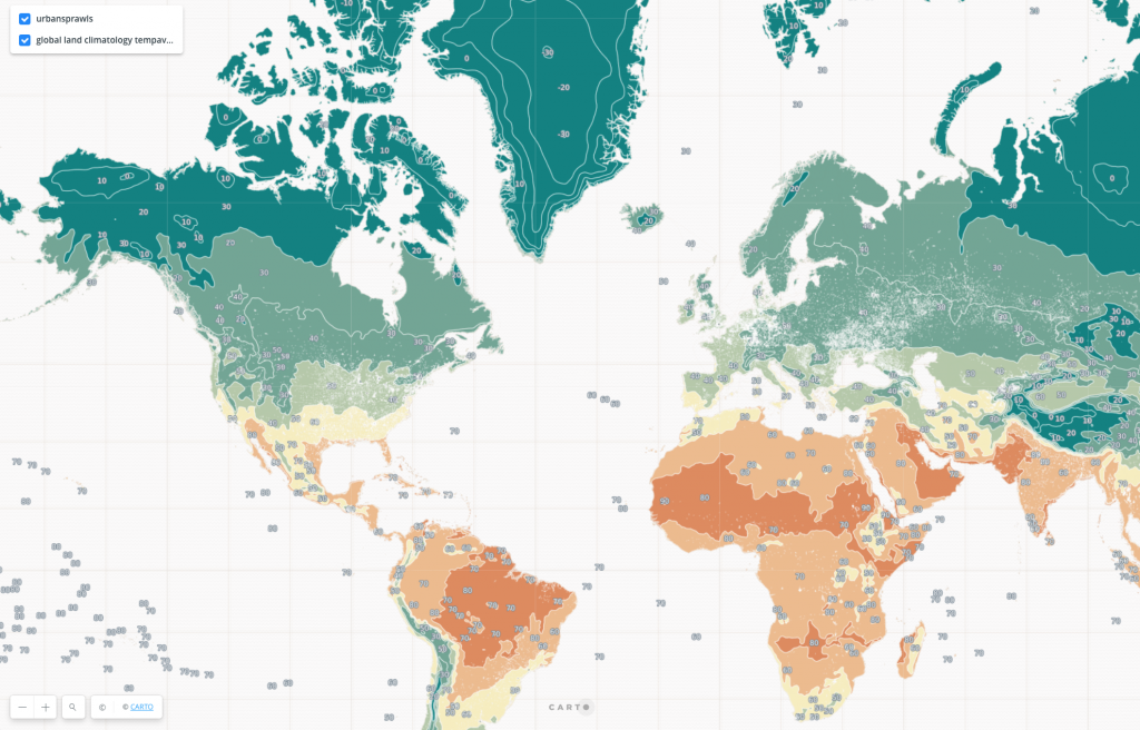
Location technology is ripe for innovation as it becomes more sophisticated, according to many geospatial experts who participated in CARTO’s virtual Spatial Data Science Conference 2020 (SDSC20) last week. Likewise, spatial data companies have come together in a variety of ways to offer technology, data, and services to help individuals, businesses, and communities remain physically and financially healthy throughout the COVID-19 pandemic.
This was the topic of an SDSC20 panel titled “The Value of New Spatial Data Streams vs. COVID-19.” Weather Source CEO Mark Gibbas participated in the panel, which was moderated by Alejandra Aranzadi, Data Partnerships Manager at CARTO, and included panelists Elizabeth Gilbert, a Data Scientist at Spatial.ai, and Ariel Eck, Director of Data & Insights at Foursquare.
The Power of Weather Data
Gibbas shared how Weather Source has opened its API to researchers working to understand potential correlations between weather and COVID-19 viability and transmission. Further, he said, COVID-19 has changed everything from consumption patterns to the routines of everyday life.
“Companies have many new problems to solve,” Gibbas said. “They’re trying to keep their employees safe and understand where they can operate safely. They’re pairing our weather datasets with other business information to understand where weather and the influences of COVID-19 converge.”
This is especially true for industries such as retail, restaurants, supply chain, and real estate.
“Because COVID-19 has forced us to change personally at scale, this has forced industry to change as well,” Gibbas continued. “Weather is an extremely important element of how businesses optimize.”

A Location-Based Recovery Index
Foursquare’s Eck described how the company immediately mobilized to develop a recovery index using location data then shared those insights on a weekly basis.
The company analyzes how far people are traveling from home, how long they linger in public spaces, what time of day they are more likely to be out, and so on to understand changing patterns and trends. Beyond commerce, this valuable information can help state and local officials with critical decision-making.
Foursquare data was also used to feed public health information to digital billboards throughout New York City. For example, warning people about crowds at nearby retailers or letting them know what times grocery stores and pharmacies would be the most/least busy.
“We were really proud to help during this time of uncertainty and ambiguity,” Eck said.
Tracking Social Media Sentiment
Spatial.ai leveraged geo-tagged social media sentiment to help its users understand the changing preferences of their customers since the pandemic’s onset.
“If a company is struggling they are trying to hold on to their existing customers,” Gilbert said. “If they’re doing well they’re looking at who their new customers are.”
For example, Sonic quick-service restaurants in Georgia went from the state’s 5th to 22nd most visited retailer in the last several months. Its core customers shifted from young and urban to suburban families and sports teams.
Spatial.ai also tracked steadily climbing sales at pet retailers as a result of a surge in pet adoptions throughout quarantine.
This is an example of “people’s behavior during COVID-19 directly translating to purchases,” Gilbert said.
All panelists agreed there is less margin for error when analyzing spatial data during these challenging economic times. Moderator Aranzadi concluded the discussion by asking panelists to share their thoughts on the future of spatial analysis.
“All weather features are extremely spatial in nature. We have always needed spatial databases and applications in order to do our work,” Gibbas said. “What’s changing for Weather Source is those tools are no longer used exclusively by us but are moving into the applications our customers use as well. The need for platforms like CARTO will continue to expand, partly fostered by the pandemic. People need to solve challenges and solve them fast, and spatial data can help them do so.”
Click here for more information on Weather Source’s COVID-19 response.


